2023.09
SELECTED RESEARCH · 2023
Suningga’s Wanli Huijiang Tu and Qing Geographic Knowledge of Xinjiang in the Late Eighteenth Century
Ling-Wei Kung
Bulletin of the Institute of History and Philology, Academia Sinica 94, no. 3 (2023): 573–651.
DOI not listed in the supplied full text.
Research summary
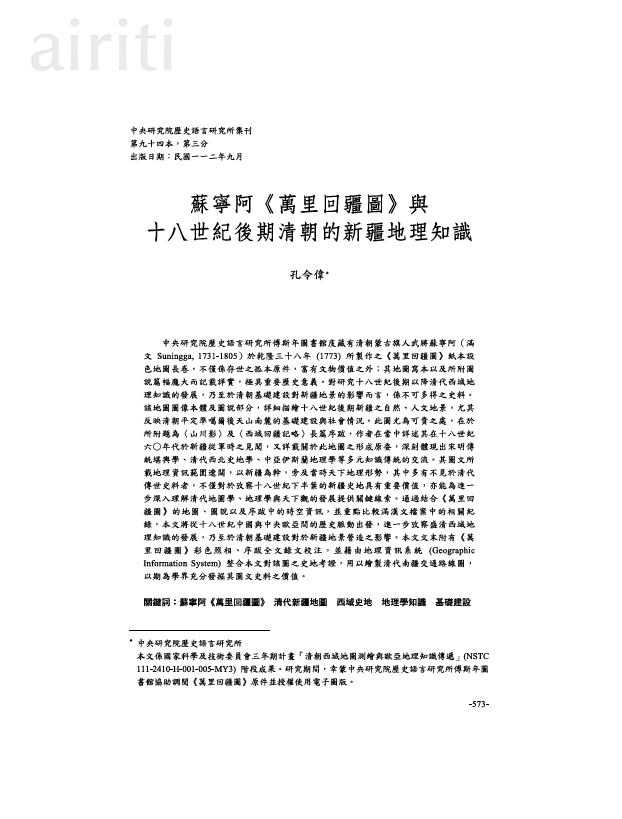
This article studies the surviving manuscript of the Wanli Huijiang tu, made in 1773 by the Mongol banner officer Suningga and preserved in the Fu Ssu-nien Library. Reading its images, annotations, preface, and postscript alongside Manchu and Chinese records, it investigates how military experience and diverse geographical traditions shaped Qing knowledge of Xinjiang. The study examines infrastructure and landscape in southern Xinjiang after the Qing conquest of the Zunghars. It provides colour reproductions, annotated transcriptions, and a GIS reconstruction of transport routes, demonstrating the value of manuscript maps for linking local knowledge with imperial geography.
This summary is prepared from the full article; consult the PDF for the original abstract and complete argument.
Main contributions
- Introduces and contextualises a unique eighteenth-century manuscript map.
- Links local military experience, infrastructure, and multiple geographical traditions.
- Combines philological annotation with GIS route reconstruction.
Citation
Kung, Ling-Wei. “Suningga’s Wanli Huijiang Tu and Qing Geographic Knowledge of Xinjiang in the Late Eighteenth Century.” Bulletin of the Institute of History and Philology, Academia Sinica 94, no. 3 (2023): 573–651.